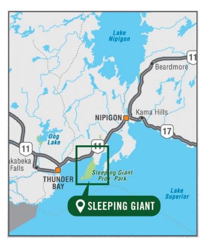
Sleeping Giant Provincial Park Adventure Map | Backroad Maps
Sleeping Giant Provincial Park Adventure Map | Backroad Maps
Released: 2022
UPC: 6-22098-11076-0
Pages: 1
Paper: Waterproof
Dimensions: 61 x 94 cm (24 x 37 inches)
Maps: 1:75,000
Digital Format Available: Yes, see the Digital tab for details.
Map Features: Highways, Logging Roads, Land & Water Features, Parks, Adventure Points of Interest, Campgrounds, Hiking Trails, Motorized Trails, Paddling Routes, Hunting & Fishing Areas, Winter Recreation and More.
Areas Covered: Sleeping Giant Provincial Park, Amethyst Harbour, Caribou Island, Edward Island Nature Reserve, Kabeyun Trail, Marie Louise Lake, Pass Lake, Sawyer Bay, Sea Lion Trail, Sibley Peninsula, Thunder Bay Lookout, Thunder Cape, Top of the Giant, Northern Ontario
Low stock: 5 left
Pickup available at Adventure Outfitters
Usually ready in 24 hours