Released: 2022
UPC: 6-22098-11074-6
Pages: 1
Paper: Waterproof
Dimensions: 61 x 94 cm (24 x 37 inches)
Maps: 1:15,000
Digital Format Available: Yes
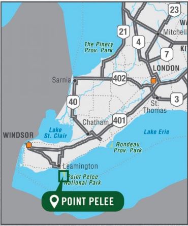
Map Features: Highways, Logging Roads, Land & Water Features, Parks, Adventure Points of Interest, Campgrounds, Hiking Trails, Motorized Trails, Paddling Routes, Hunting & Fishing Areas, Winter Recreation and More.
Areas Covered: Point Pelee National Park, East Beach, Lake Erie, Lake Pond, Sanctuary Pond, West Beach, West Cranberry Pond, White Pine, Black Willow Beach, Camp Henry, DeLaurie Homestead, Essex County, Southwestern Ontario