1
/
of
1
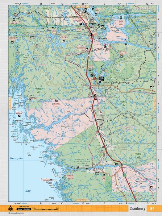
Key River Waterproof Adventure Map | CCON84 | Backroad Mapbooks
Key River Waterproof Adventure Map | CCON84 | Backroad Mapbooks
Regular price
$19.95 CAD
Regular price
Sale price
$19.95 CAD
Unit price
/
per
Shipping calculated at checkout.
Released: 2019
Paper: Waterproof
Dimensions: 61 x 94 cm/24 x 37 inches
Maps: 1:50,000
Map Features: Highways, Logging Roads, Land & Water Features, Parks, Adventure Points of Interest, Campgrounds, Hiking Trails, Motorized Trails, Paddling Routes, Hunting & Fishing Areas, Winter Recreation and More.
Areas Covered: Cranberry, Britt Station, Byng Inlet, Ludgate, French River, Pakesley, Provincial
Low stock: 5 left
Pickup available at Adventure Outfitters
Usually ready in 24 hours


