Kawartha Highlands Waterproof Map | Unlostify
Kawartha Highlands Waterproof Map | Unlostify
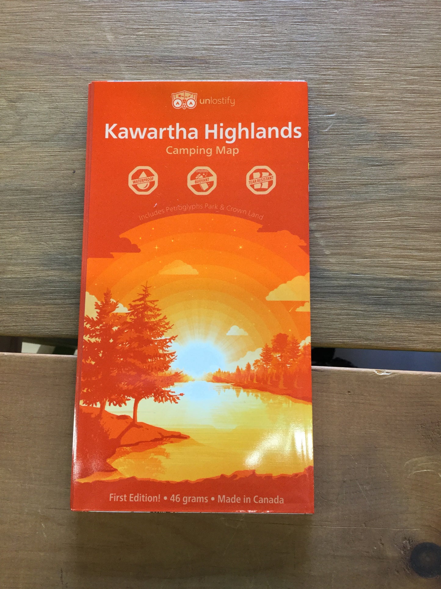
Ever seen the largest collection of ancient petroglyphs in Canada? Or a very rare “meromictic” lake? With the Unlostify Kawartha Highlands Camping Map, get ready to see more of the Kawartha Highlands Provincial Park than ever before - including Petroglyphs Provincial Park, and surrounding Crown lands. Unlostify maps are tear proof, water proof, and even float.
The Unlostify Kawartha Highlands Camping Map features two distinct maps in one: a re-useable, erasable, whiteboard planning map - complete with 13 water access points in the area and info on canoe rentals, supplies, and free parking. All campsites, reservable park sites, and crown land free sites, are clearly marked and numbered, and all portages are graded for difficulty, as well as length, steepness, and time. Draw out multiple trip itineraries until you've nailed down the one that suits you best.
Once on your trip, flip the map over, and use the waterproof, tear-proof trip side of the map to plot your course along the route you've chosen. Glow-in-the-dusk inks ensure that low light or poor conditions don't complicate your map reading.
With the Unlostify Kawartha Highlands Camping Map, you’ll know all the shortcuts and secret routes in Ontario’s newest park like you’ve been travelling these waters forever - not a single billion year old metasedimentary stone is left unturned.
28 in stock
Couldn't load pickup availability


